Bicimetro
1.1
5.65MB

Application for calculating a biking tour This
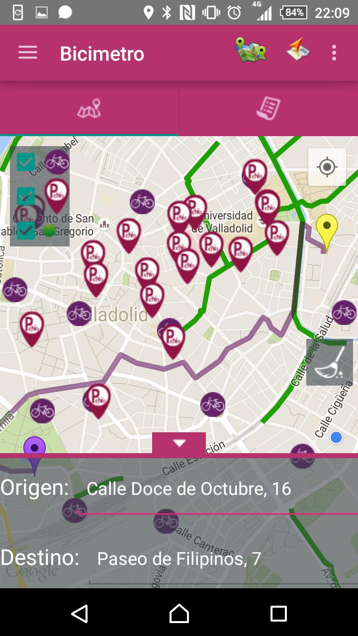
The application will calculate the optimal route from an origin point to a destination point, based on the vector information of the cartography published and maintained by the Valladolid City Council. For these calculations, the application will use a layer published on a maps server, with the vector information of the lines that represent the city bike lanes. In addition to completing the sections where these bike lanes do not exist, a vector layer with street axes will be used.
The main objective of the proposal is to value the existing lanes network in the city of Valladolid. In a city like Valladolid, very suitable for cycling mobility -by its morphology -, the creation of these routes will encourage and strengthen citizens' decision to use this form of displacement. The-bici lanes become "lines" and connect to each other, creating those links where necessary.
The most concrete objectives of this initiative for sustainable mobility are:
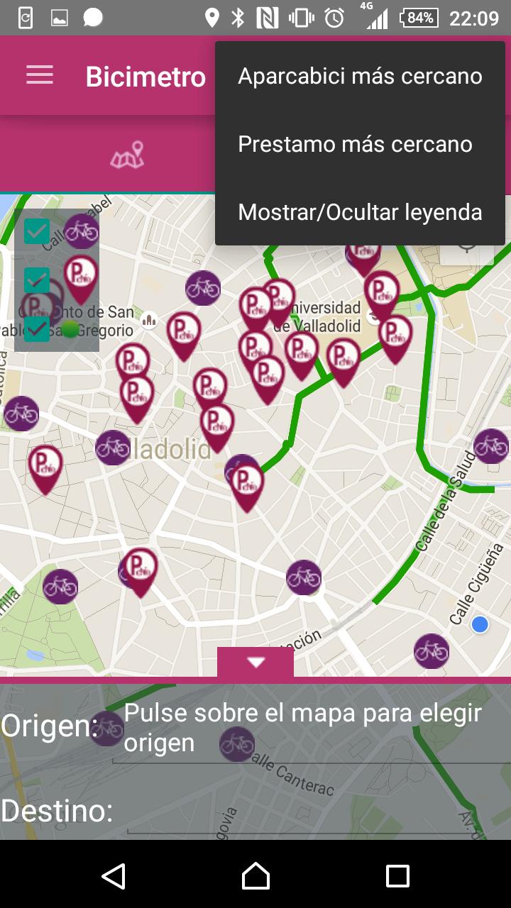
Being able to reach all areas of the city in the most direct way possible through complete, continuous and homogeneous routes by bicycle.
Develop the concept of intermodality through the exchange between the various transport systems: Urban bus, public bicycle loan system (Vallebici) and bicycles for private bike.
Safeguard cyclist's safety.
Promote urban regeneration.
 Download APK(5.65MB)