Metsaeraldised
2.0
526.62KB
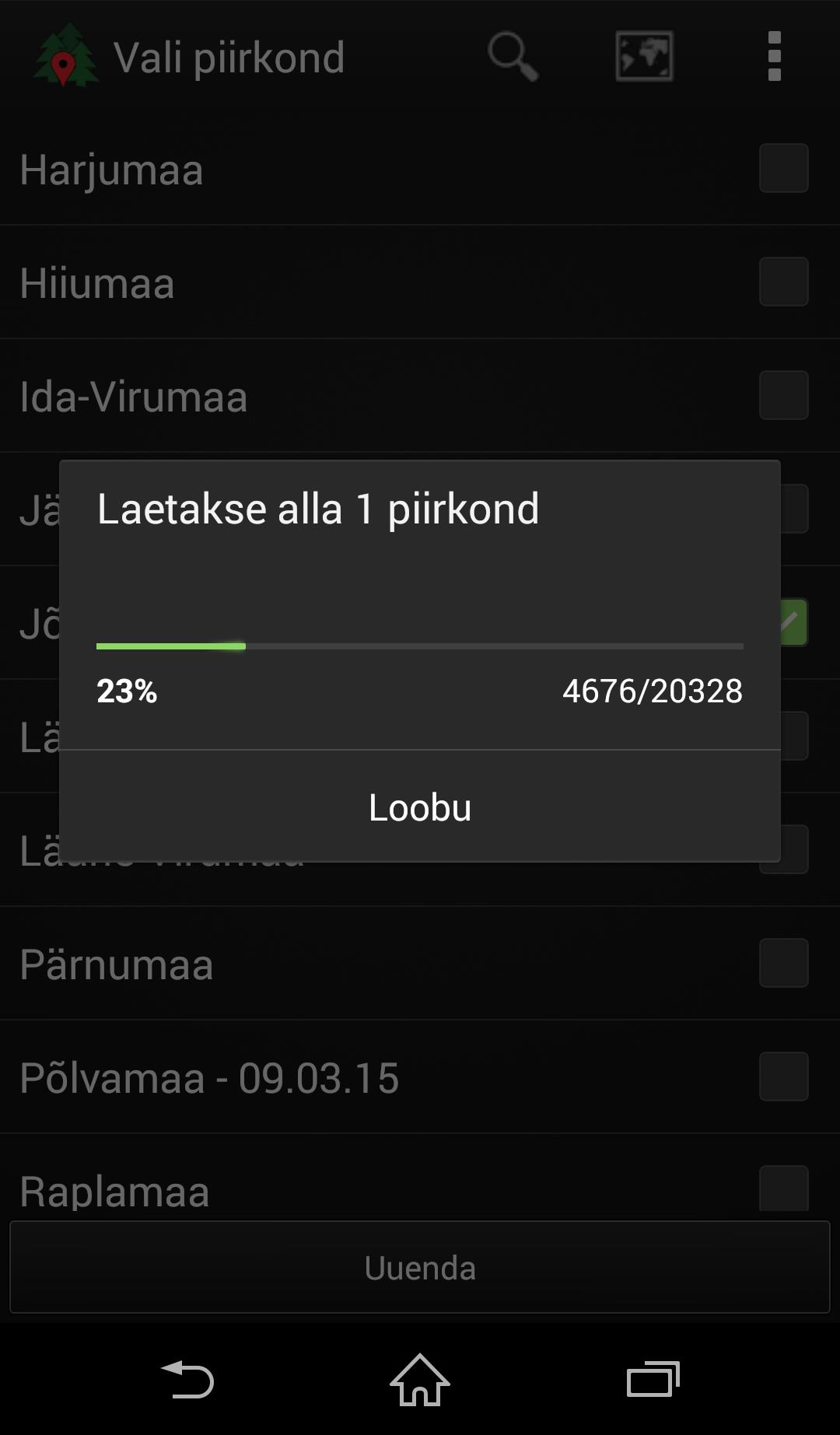
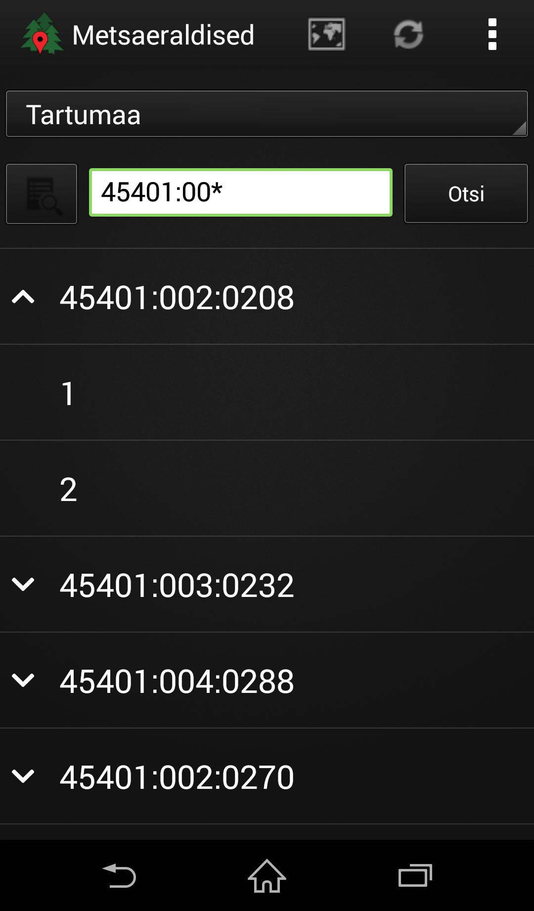
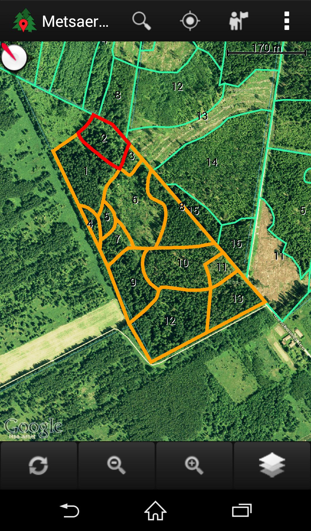
Find your forest and see its location on the map.
Data from the Forest Register for a touch of a button
* The boundaries of forest allocations
* Data and Notifications of the Forest Register
* The boundaries of cadastral units
* Land Board Orthophoto, Forestry Photo, Height Model
* Land Board's main map, soil card, hybrid card
* Land Board restrictions layer
* Google road card or satellite card
* GPS location on the map
* shows the direction of the device on the map to facilitate orientation
* Google navigation
* Opportunity to open your card layer
App for Viewing Data from Estonian Forest Database.
Deskis OÜ
